Bridge Scour
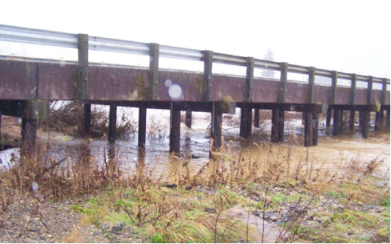
Porter Creek Rd Slough Bridge Replacement- July 2008 to March 2009
MP Stormwater Engineering developed the Final Hydraulic Report including a review of the Chehalis River gage records and recent floods to determine the flows and boundary conditions necessary for a HECRAS model. Water surface elevations and scour depths were determined from the model and included with the riprap recommendations in the final report. Drainage design for the bridge deck was completed along with addressing the stormwater management requirements for runoff treatment and flow control.
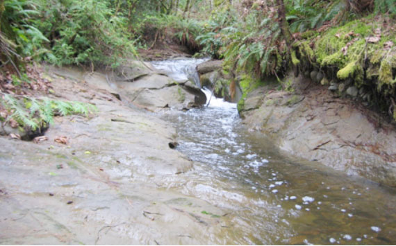
Dry Creek Pedestrian Trail Bridge- January 2010 to September 2010
MP Stormwater Engineering was responsible for providing the Final Bridge Hydraulic Report. USGS Regression Equations were used to determine basin flows. A HECRAS model was developed to determine water surface elevations and scour potential. Significant side slope erosion required a close look at off-site flows and bridge deck flows draining towards the abutments and a review of potential lateral channel migration was also included in the report. Stormwater management facilities for runoff treatment and flow control were also designed.
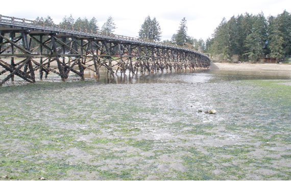
Treasure Island Bridge Replacement- February 2010 to November 2010
MP Stormwater Engineering was responsible for the Final Hydraulic Report including drainage design for the bridge deck along with stormwater management facilities for runoff treatment and flow control. Bridge hydraulic modeling based on site inspections and field survey was conducted to establish the proposed tidal water surface elevation and estimate scour depths.

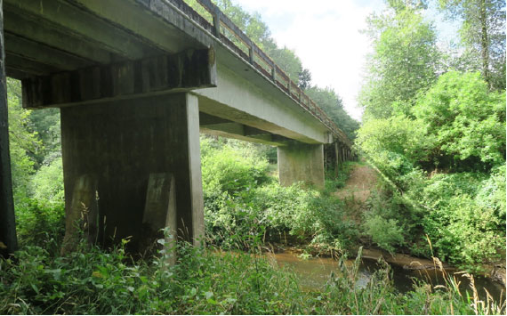
Skate Creek Bridge Scour Mitigation Design – September 2011 to September 2014
MP Stormwater Engineering was responsible for designing stream barbs on both sides of the river immediately upstream of the bridge. A water surface profile of Skate Creek in the City of Packwood was developed using HECRAS with basin flows determined from Streamstats.

Lauridsen Blvd Bridge Replacement- March 2012 to November 2012
MP Stormwater Engineering developed a water surface profile of Peabody Creek in the City of Port Angeles using HECRAS. Basin flows were determined from Streamstats. Hydraulic Engineering Circular No. 20 was used in a review of potential lateral channel migration and overall stream stability within the project area.

Raft Island Bridge Replacement – December 2012 to September 2013
MP Stormwater Engineering is responsible for providing the Final Bridge Hydraulics report including drainage design for the bridge deck along with stormwater management facilities for runoff treatment and flow control. Bridge hydraulic modeling based on site inspections and field survey was conducted to establish the proposed tidal water surface elevation and estimate scour depths.
Grays Harbor Bridge Replacements: Keal Road, Delzenne Creek Road & Garrard Creek Road – January 2013-March 2015
Grays Harbor County received federal funding to replace these three bridges. MP Stormwater Engineering was responsible for providing hydraulic and hydrologic modeling for bridge scour, stormwater management and roadway drainage design. The major items of work include a site visit, the bridge hydraulic modeling, bridge deck drainage and design memo & report.
Mox Chehalis Creek Bridge Replacement & Vesta Bridge Replacement – February 2015 to January 2017
Grays Harbor County received federal funding to replace these bridges. MP Stormwater Engineering was responsible for providing hydraulic and hydrologic modeling for bridge scour. The major items of work include a site visit, the bridge hydraulic modeling, and design memo & report.

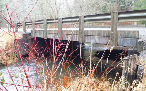
Anderson Creek Bridge Replacement- February 2015 to November 2016
MP Stormwater Engineering developed the Final Hydraulic Report. Downstream boundary conditions were established using the Kitsap County FEMA Flood Study and the National Oceanic and Atmosphere Administration (NOAA) tidal predictions for the tidal water surface elevations (WSEL) at the Seabeck-Hood Canal, Tidal Datum Station 9445296 and at Union, Hood Canal Tidal Datum Station 9445478. Water surface elevations and scour depths were determined using the HECRAS model. Drainage design for the bridge deck was completed along with addressing the stormwater management requirements for runoff treatment and flow control.